


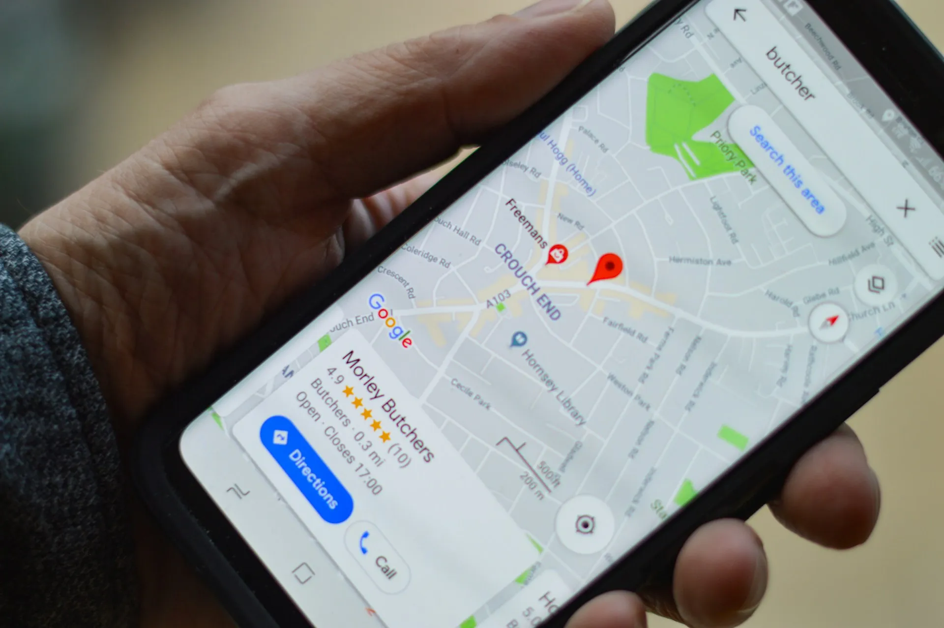
Google Maps recently rolled out a feature that caught my attention: HOV-specific routing and ETAs. I have spent years tracking how navigation apps evolve. This is not just another incremental update. The engineering behind this feature, detailed in Google Research's recent publication, reveals a sophisticated classification system that goes far beyond simple lane detection. It is about understanding which drivers are actually using these lanes, and when it makes a meaningful difference.
What makes this stand out is simple: HOV lanes are typically faster than general lanes during rush hour, sometimes dramatically so. We are not talking about tiny savings. This tackles real commutes where the speed gap changes the whole equation.
The challenge: distinguishing HOV from regular traffic
Here is where things get technically interesting. The core problem was not just knowing where HOV lanes exist, it was figuring out which drivers are actually using them. Google performs a classification task of the trip parts lying on individual road segments that have HOV availability, and this classification becomes critical when travel times on HOV lanes differ substantially from general lanes.
The difference can be striking. In one scenario, research shows the speed in HOV lanes during peak hours averages 65 mph, compared to general lanes at 25 mph. That is not a small edge. You could cut your commute in half.
Now here is the rub: identifying which drivers are using HOV lanes is not as straightforward as you might think. With millions of anonymous data points streaming in from phones, you cannot just ask each device, "Hey, are you in the HOV lane right now?" Google had to get creative.
Breaking down the technical approach
Google's solution combines multiple signals in clever ways. They analyze speed data, which can show a bimodal speed distribution, a tell that HOV and general lanes are behaving differently. Picture a rush-hour histogram with two obvious clusters, one crawling at 25 mph and another cruising at 65.
But speed alone is not enough. Estimated lateral distance to the center of the road, combined with speed, helps distinguish HOV lanes from general lanes. That makes sense, HOV lanes are usually positioned on the far left. The system uses soft clustering, which calculates the probability of each data point belonging to each cluster, which adds flexibility when the signal is messy.
This probabilistic approach matters because real driving does not fit neat boxes. A driver might drift between lanes or sit at a speed that does not scream HOV or non-HOV.
There is also a smart temporal twist. Clustering incorporates temporal information, giving more weight to recent data points. The system adapts quickly to changing conditions. If an accident slows the HOV lane to general-lane speeds, the shift shows up within minutes, not hours.
The mixture of experts approach
Google did not rely on a single algorithm. They implemented a mixture of experts approach, which uses multiple classifiers and majority voting to improve accuracy. Think of it as getting second and third opinions before making a call.
The system models trips with bimodal distributions of travel times using two normal distributions, representing general lane and HOV lane travel. High-confidence labels are assigned based on z-scores indicating the likelihood of trips being in HOV or non-HOV categories. In plain language, if your phone data shows you moving at highway speeds in what looks like the left lane during rush hour, confidence climbs that you are using HOV.
Final trip classification involves aggregating segment-level classifications, considering the proportion of time spent in HOV lanes. The analysis of lane placement with speed data and mixture-of-experts classification addresses the scarcity of labeled HOV data by learning patterns straight from the behavior in the data. No need to hand-label millions of trips.
Real-world impact and performance gains
The results speak for themselves. HOV-specific ETA accuracy improved by 75%, matching general route ETA accuracy for HOV users. That is a big swing. Imagine being told your commute will take 20 minutes, then it takes 35. Now imagine an estimate that lands within a minute or two.
Even more impressive, the classification method resulted in an 18% improvement in ETA accuracy over previous speed-only methods. Sophistication pays off when you mix signals and models.
This is not just an incremental bump, it is a shift in how navigation apps understand different kinds of road use. The broader implications are clear. Research shows that travelers' commute times can be reduced by 20%-50% with HOV lane implementation, and accurate ETAs for these lanes could encourage more carpooling adoption.
When people can see clear, reliable evidence that carpooling saves real time, they are more likely to try it. Better ETA accuracy for HOV lanes can kick off a feedback loop: accurate predictions drive more HOV usage, which creates more data that makes predictions even better.
What this means for the future of navigation
This HOV feature hints at something bigger than better ETAs, a move toward apps that are context-aware. Google Maps is not just tracking traffic, it is predicting it, and now it is recognizing the nuanced differences in how different drivers use the very same stretch of road.
The technical approach could extend beyond HOV lanes. Think about truck routes, motorcycle lanes, or dynamic pricing lanes. The same classification and pattern-recognition playbook can capture that a motorcycle slicing through congestion is living a different reality than an 18-wheeler beside it.
This granularity marks a shift from treating all vehicles as identical dots to understanding that a delivery truck downtown faces constraints a commuter SUV does not. The models are getting better at recognizing that not all vehicles are created equal, not all drivers behave the same way, and not all lanes serve the same purpose.
What fascinates me is the evolution from one-size-fits-all prediction to something personal and contextual. While Google Maps has one job, to get you from Point A to Point B as fast as possible, features like this show how that simple mission pushes sophisticated engineering that reflects how people actually drive.
This level of granularity in traffic analysis was simply impossible even a few years ago. As these systems keep improving, we will likely see routing that accounts for vehicle type, driver preferences, and real-time conditions in ways we have not imagined yet.
Bottom line: this is not just about HOV lanes, it is about navigation apps finally acknowledging that not all drivers experience the road the same way. That is a meaningful step toward smoother daily commutes. The sophistication of this classification system hints at a future where navigation is truly personal, understanding not just where you are going, but how you are getting there and which factors matter for your specific trip.


Comments
Be the first, drop a comment!